The survey site has been changed to allow access to the data via mobile devices like the iPhone or iPad. The old site is still available for older browsers.
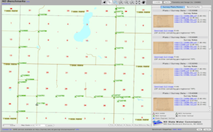
The North Dakota State Water Commission and the office of the State Engineer are responsible for the preservation and dissemination of official government survey plats (GLOs) and notes for the State of North Dakota. Many of these documents are as old, or older than the State itself, dating back to the late 1800's through the early 1900's.
We now provide access to all of the GLO and benchmarks for the state of North Dakota through our new interactive mapping service. Click on the map to the right to go to the Survey map service.

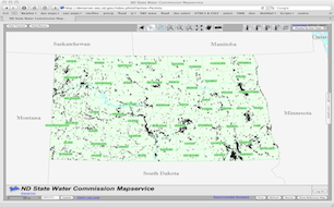
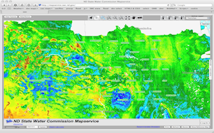
The State Water Commission, as a member of North Dakota's GIS Technical Committee, has recently developed new map services that are geared towards the dissemination of large datasets, particularly LiDAR elevation data collects. This will make distribution to the general public quite easy and available 24/7. Data can be downloaded by selections of tiles using individual, box graphic, polygon graphic, or by GIS polygon features. We intend to incorporate all large scale datasets as they arrive and currently have LiDAR collects for the Red River Valley (2009), Maple River (2003), Sheyenne River (2002), and Bismarck/Mandan (2009). Several more are in the works. Click on the map to the right to go to the map service.

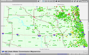
The ARB Cooperative Observer Network (ARBCON) is comprised of nearly 800 volunteer observers across the state of North Dakota. Observers record daily rainfall and hail occurrences at their locations for the months of April through September of each year. ARBCON reports date back to 1977 and are all available to be viewed or downloaded by clicking on the map to the right.
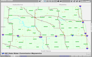
A mapping application that allows you to get information about water wells drilled in ND. Click on the map to the right to go to the map service.

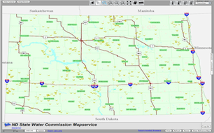
A mapping application that provides access to the Board of Water Well Contractors driller's reports. Well Driller's Reports are required to be filed with the State Board of Water Well Contractors within 30 days after completion or abandonment of a well. Click on the map to the right to go to the map service.
A mapping application that allows you to get information about permits throughout ND. Click on the map to the right to go to the map service.
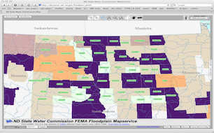
A mapping application that provides access to FEMA's web mapping services. Click on the map to the right to go to the map service.

A mapping application that provides access to dams throughout ND. Click on the map to the right to go to the map service.
A mapping application that provides access to drains throughout ND. Click on the map to the right to go to the map service.

A mapping application that provides access to dikes throughout ND. Click on the map to the right to go to the map service.
A mapping application that provides access to diversions throughout ND. Click on the map to the right to go to the map service.
A mapping application that provides access to dugouts throughout ND. Click on the map to the right to go to the map service.
A web application that displays and allows the calculation of Snow Water Equivalent on a given day at a point or within a polygon, HUC boundary or etc. Click on the map to the right to go to the map service.